
Topographical Surveys
Topographical land surveys are a requirement during the initial phase of any project or development. Constructed from measured elevation points on a particular piece of land, presented as contour lines on a plot. A land survey details the natural and built environment and will impact on the development and progress of the project. It is therefore essential that they are carried out with a high level of accuracy and efficiency.
LWW Engineering Precision has a well-trained team of land surveyors offer these qualifications, along with a professional, affordable and personal service that strives to meet with the specific requests of our clients.
Examples of Topographical Land Surveys and their uses;
- GPS surveys for flood risk assessments.
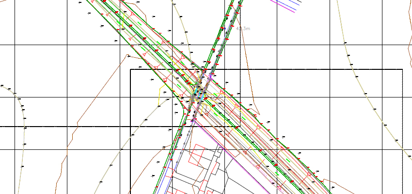
- Highway surveys showing road markings and signage.
- Boundary surveys for conveyancing or disputes.
- Site surveys for development.
- Landscaping surveys for Landscape Architects.
- Areas.