

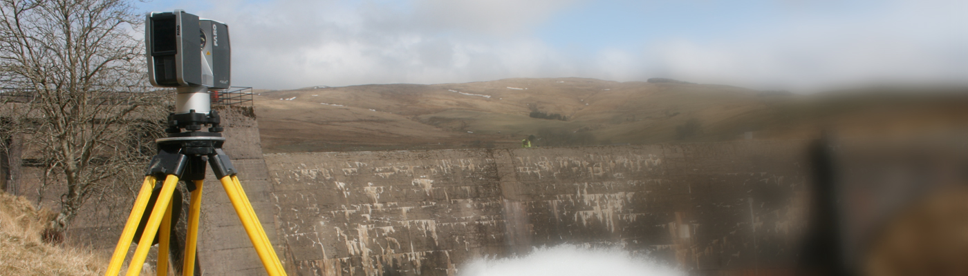


Topographical land surveys are a requirement during the initial phase of any project or development.

LWW ENGINEERING PRECISION LIMITED undertake an extensive range of land surveying services from basic boundary surveys to complete topographic surveys and 3D terrain model analysis. Our measured building surveys include floor plans, elevation surveys, and sections which are tailored to suit your site specific survey requirements.
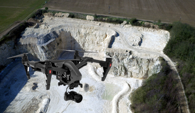
LWW ENGINEERING PRECISION LIMITED topographical surveys are carried out for many business sectors and include purposes from site planning to flood risk analysis. For quarries and large tracts of land we use our newly acquired drone survey technology.
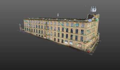
LWW ENGINEERING PRECISION LIMITED 3D laser scanning services allow us to capture data and accurately replicate an object or surface in a 3D virtual environment. Point cloud data sets are accessible via the internet to enable clients to view the site or facility that we have scanned and to query the point cloud to obtain measurements etc.

