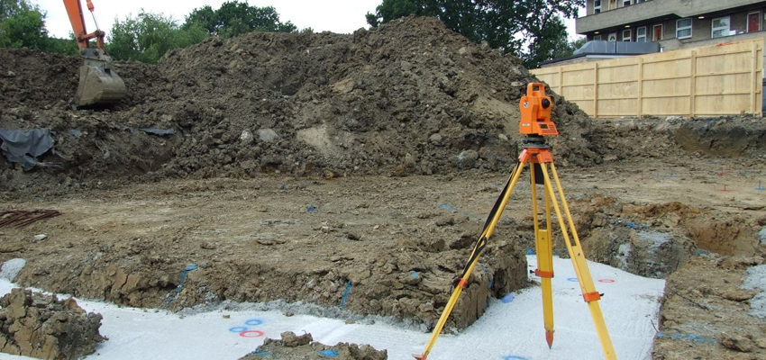
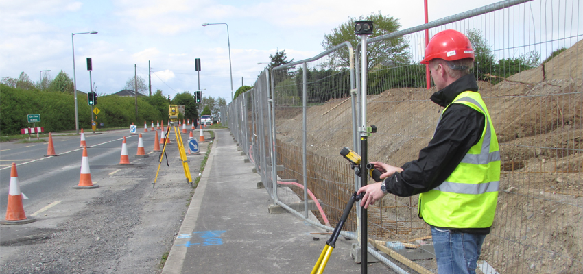
Setting Out Surveys
After surveying a project area, architects and design engineers need the data to be transformed into physical detail on site; setting out is the next phase before construction work begins. Our experienced setting out engineers will use modern technology and instrumentation combined with National Grid and Ordnance Survey coordinates. They physically and precisely mark out details from survey data, drawings and models onto the ground using pegs.
Our setting out engineers can pinpoint positions and set out subterranean features such as pile positions, drainage and ground beams as well as structures to be built above ground such as gridlines, brickwork, stud walls, columns, cladding, reinforced concrete slabs.
Examples of Underground Detection Surveys and their uses;
- Pinpoint position of underground utilities.
- New buildings
- Foundations
- Roads and road curves
- Drainage layouts
- Ground beams
lww Precision Engineering employs skilled, quality setting out engineers who can work from CAD or hard copy; coordinate spreadsheets or annotated drawings, to set out for a variety of projects.